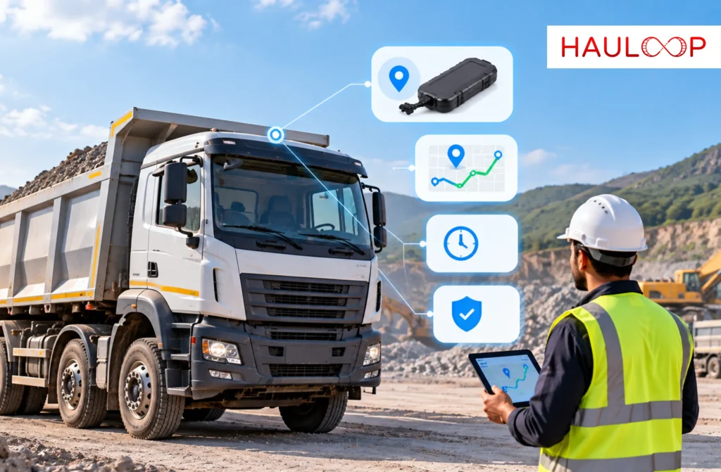
A truck leaves the depot with an approved route, three stops and a delivery window.
Halfway through the journey, the driver turns onto another road. The vehicle is still moving, so nothing appears wrong on a basic map. Dispatch notices only when the delivery is late.
By then, the vehicle may have travelled unnecessary kilometres, entered a restricted area or stopped somewhere that was never part of the trip.
Extra kilometres have a measurable cost. The American Transportation Research Institute reported an average truck operating cost of $2.336 per mile in 2025. The US figure does not represent every market, but it shows why avoidable distance is not harmless.
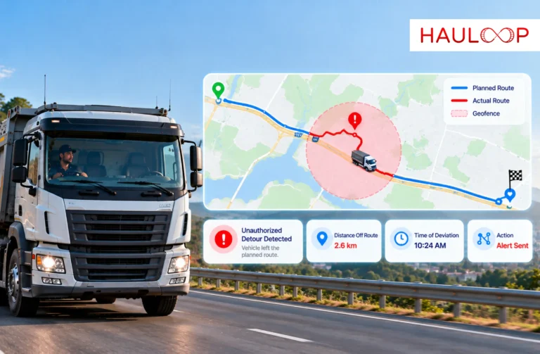
Fleet geofencing helps dispatch identify the moment a vehicle crosses a defined operating boundary. The alert does not automatically prove misconduct, but it tells the team which movement needs attention while the trip is still active.
Let’s examine how fleet geofencing detects a detour, what must be configured and how dispatch should respond without treating every route change as a violation.
What is Fleet Geofencing and What Does a Zone Alert Mean?
Fleet geofencing uses GPS location data to create a virtual boundary around a real place or operating area.
A fleet can place a geofence around a depot, warehouse, quarry, customer site, approved corridor or restricted location. It gives the tracking system a rule against which movement can be checked.
When the GPS position moves across that boundary, the system records an entry or exit event. A configured rule can then generate a zone alert for the responsible person.
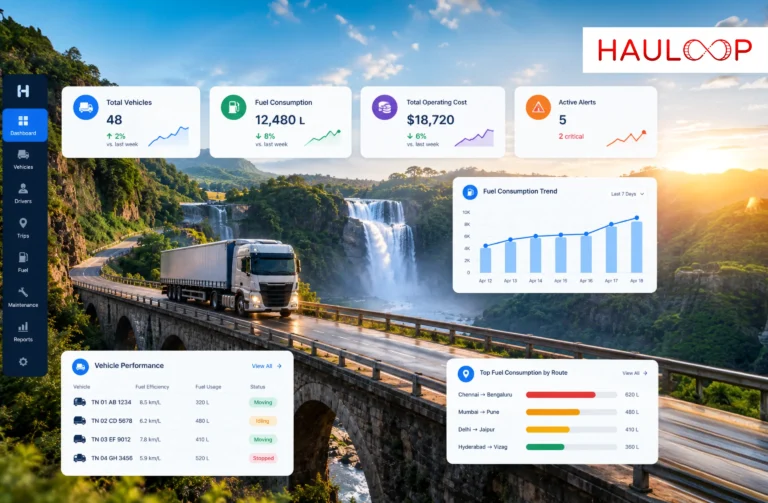
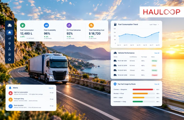
Hauloop’s Live Tracking brings geofences together with movement, trip progress and route changes. A boundary crossing becomes useful when dispatch can see what the vehicle is doing.
Why Can a Detour Remain Hidden on a Basic Map?
A basic map answers one question: where is the vehicle now?
It may not show whether the vehicle is following its approved route. Dispatch cannot compare every moving icon against every route continuously.
The driver may have taken a wrong turn, followed a diversion or made an unauthorized stop. Each may initially look like normal movement.
The problem is not missing location data. It is the absence of a rule that identifies when the location no longer matches the plan.
As our guide to live map context explains, location becomes more useful when it is viewed with speed, movement status and trip information. Geofencing adds another question: is the vehicle operating inside the area approved for this trip?
Define the Route and Zones Before Dispatch
Geofencing cannot identify a meaningful deviation unless the fleet defines what normal movement should look like.
Before the vehicle leaves, dispatch should confirm:
- The assigned vehicle and driver
- The approved route or service area
- Planned pickup, delivery and intermediate stops
- Depot, customer and waiting zones
- Restricted or high-risk locations
- Any approved fuel, rest or service stops
- The time when each zone rule should apply
- Who should receive the alert
Hauloop’s route planning can organise the required stops into a defined journey before dispatch. Geofences can then be placed around the locations and areas that matter to that plan.
Rules should reflect the operation. A delivery fleet may need customer-arrival alerts, while a field-service fleet may monitor service territories. High-value cargo may require tighter route control.
Turn Boundary Crossings into Useful Alerts
A geofence becomes operationally useful when the alert identifies the event and the expected response.
Hauloop’s zone alerts can monitor when a vehicle enters, exits or breaches a defined area. Different events can support different decisions:
- Depot exit: Confirms that the trip has started.
- Customer entry: Records arrival at the delivery site.
- Customer exit: Shows that the vehicle has left the location.
- Restricted-zone entry: Highlights movement into an area the vehicle should avoid.
- Approved-area exit: Indicates that the vehicle has moved beyond its assigned boundary.
- Extended zone stay: Shows that the vehicle has remained at a location longer than expected.
The alert should identify the vehicle, trip, zone, time and location. “Geofence breached” alone leaves dispatch searching for context.
Check Whether the Detour is Actually Unauthorized
A route change is not automatically driver misconduct.
Road closures, diversions, flooding, customer instructions and vehicle faults can require a legitimate change. GPS uncertainty or delayed uploads can also mislead.
Dispatch should check:
- Whether the vehicle position is current
- Whether more than one GPS point confirms the movement
- Whether the planned route or stop order changed
- Whether the driver received an approved instruction
- Whether traffic, weather or road access explains the detour
- Whether the vehicle stopped or continued moving
Our article on fleet intelligence explains why one signal should be compared with the wider trip context before action is taken.
Decide What Dispatch Should Do After the Alert
The correct response depends on the vehicle, cargo, location and reason for the route change.
Dispatch may need to contact the driver, confirm the new route, update the ETA or notify the customer. If the vehicle entered a restricted area or made an unexplained stop, the issue may need to be escalated to the fleet manager or security team.
A practical response process should state:
- Who receives the first alert
- How quickly the event should be reviewed
- When the driver should be contacted
- Which situations require escalation
- Who can approve a revised route
- What must be recorded before the alert is closed
This prevents one team from ignoring the alert while another overreacts. The purpose is an earlier decision, not another dashboard notification.
Preserve the Route Evidence After the Trip
An alert helps during the journey. The completed movement record explains what happened afterwards.
Hauloop’s trip history can show the route, stops, timing and deviation in sequence. Dispatch can review where the vehicle left the expected path, how long it remained away and where it rejoined the journey.
One event may be explained by a temporary road closure. Repeated detours on the same route, vehicle or shift may reveal a planning problem, an unsuitable road, an unapproved stop pattern or a driver-coaching need.
The review must remain fair. As our guide to route comparisons explains, route conditions and operating exposure should be considered before judging performance. Geofence evidence should start an investigation, not replace one.
Conclusion: Detect the Detour While There is Time to Respond
Return to the truck from the beginning. It left on an approved route, moved normally on the map and reached the customer late. Without a defined boundary, dispatch had no automatic signal that the trip had changed.
Fleet geofencing provides that missing signal. It compares live vehicle movement with the route, zone or operating area established before departure. When the vehicle crosses the boundary, dispatch receives an event that can be checked against the trip context.
If the detour is approved, the route and ETA can be updated. If it is unexplained, the team can respond before additional distance, delay or security risk develops.
That is the value of fleet geofencing: it turns a movement that might otherwise remain unnoticed into an earlier, verifiable decision. An AI-powered fleet management software can connect geofence events with live vehicle movement, planned routes and completed trip history. Book a Demo to see how route and zone alerts can support your fleet operations.
Frequently Asked Questions
How does fleet geofencing help monitor vehicle departures and arrivals?
Fleet geofencing creates virtual boundaries around locations such as depots, customer sites, quarries and warehouses. For example, when a truck leaves the depot, the exit event can confirm that its trip has started. Another alert can notify dispatch when it reaches the customer’s delivery zone.
How can a geofence alert help dispatch manage a delayed delivery?
A geofence alert records when a vehicle enters, exits or remains within a configured zone. For example, if a delivery vehicle remains at a loading site longer than planned, dispatch can investigate the delay and update the ETA before it affects the customer’s receiving schedule.
Can geofencing identify when a vehicle leaves its approved route?
Yes. A fleet can place geofences around an approved corridor or selected checkpoints. For example, if a truck travelling between a depot and distribution centre enters an unexpected area, dispatch can receive an alert and check whether the driver followed an approved diversion or left the planned route.
Does an unexpected geofence entry prove that the driver took an unauthorised detour?
No. For example, a road closure may require the driver to enter an area outside the planned route. GPS drift or delayed data can also create a misleading event. Dispatch should review the vehicle’s current position, route conditions, trip instructions and driver explanation before classifying the movement.
What should dispatch do when a vehicle enters a restricted zone?
Dispatch should first confirm the vehicle, zone, event time and current trip. For example, if a fuel tanker enters an unapproved parking area, the team can contact the driver, verify the reason, assess any operational or safety concern and record the action taken before the journey continues.
How can trip history make geofence alerts more useful after a journey?
Trip history can show where the boundary was crossed, how long the vehicle remained outside the expected area and what happened next. For example, if the same vehicle repeatedly leaves an approved corridor near one location, the fleet can investigate a recurring road, routing or driver-instruction issue instead of treating every event separately.