Know Where the Day Stands
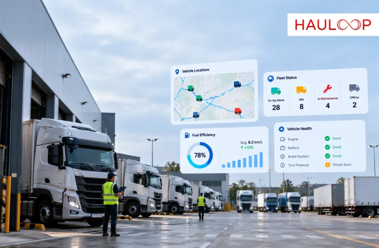
See how vehicles are positioned across the operation as the working day unfolds, giving the control desk an immediate picture of fleet movement without piecing it together manually.
See where every vehicle is from one live fleet map, with GPS positions refreshing in 10 seconds or less. Know what is moving, what has stopped and where attention is needed without calling the driver.
Start Your 3-Month Trial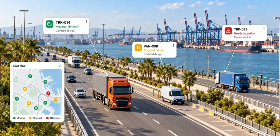
See how vehicles are positioned across the operation as the working day unfolds, giving the control desk an immediate picture of fleet movement without piecing it together manually.
Instead of searching through vehicle lists or contacting multiple drivers, locate the relevant vehicle directly on the map when an operational question needs an immediate answer.
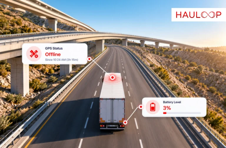
A vehicle that is no longer progressing becomes easier to pick out against the rest of the moving fleet, helping operations investigate what has interrupted the journey.
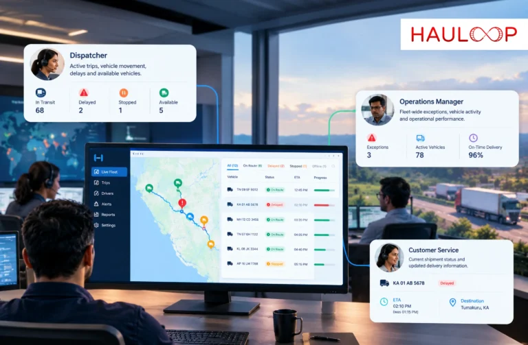
A late collection, urgent request or changing priority starts with knowing where your vehicles actually are, giving dispatch useful context before deciding how to respond.
Vehicles using different compatible GPS devices do not have to remain separated by provider. Their location feeds can come together in Hauloop for one operational fleet picture.
The map becomes a practical starting point for daily fleet supervision - checking current movement, locating vehicles and identifying where operational attention may be required.
Pinpoint the selected vehicle’s latest reported location and understand exactly where it sits within the operation at that moment.

Check whether the vehicle is currently moving or stationary, giving the control desk immediate context around its present activity.

View the speed reported with the latest GPS update to understand how the selected vehicle is moving when its position reaches Hauloop.

See when the vehicle last transmitted its position, helping operators distinguish a current location from one that has not recently refreshed.

Confirm which vehicle and assigned driver the map marker represents before contacting the driver or taking the next operational action.

Open the selected vehicle’s information panel directly from its map marker, keeping essential operating details accessible without moving between separate screens.

Find a specific vehicle within a large fleet by searching for it directly, rather than locating the correct marker manually across a busy map.

Bring location feeds from compatible GPS hardware into the same map environment, even when different vehicles use different supported tracking devices.

Receive updated GPS positions in 10 seconds or less, keeping vehicle locations current enough for active day-to-day fleet supervision.

From the GPS signal sent by each connected vehicle to the information your operations team uses on screen, Hauloop keeps current location data moving through a clear operational workflow.
Compatible GPS devices send vehicle position data into Hauloop, creating the continuous location feed behind the fleet’s current operating picture.
Incoming positions refresh in 10 seconds or less, allowing operations to follow connected vehicles as movement develops throughout the working day.
When a vehicle’s movement no longer matches what operations expect to see, the map provides the location context needed to investigate what is happening.
The control desk can use the vehicle’s latest position to contact the right person, coordinate internally or determine what operational response is required.
As fresh positions continue arriving, operators can return to the wider fleet picture and concentrate on the vehicles that require their attention next.
See how day-to-day fleet supervision changes when current vehicle positions are available from one operational map instead of being pieced together from separate sources.
Operations may need to call the driver, check another platform or ask a colleague before they can establish where a particular vehicle currently is.
The vehicle’s latest GPS position is already available on the fleet map, giving the control desk a direct place to start.
A location shown several minutes ago may no longer represent where a moving vehicle is, leaving operators to confirm whether the information can still be used.
Hauloop refreshes GPS positions in 10 seconds or less, keeping the location picture closely aligned with vehicles moving on the road.
Understanding what is happening across a large fleet can mean checking vehicles individually and combining separate updates into a mental picture.
Connected vehicles appear within the same operating view, making it easier to understand how the fleet is moving without rebuilding the picture vehicle by vehicle.
Fleets with different compatible tracking devices may end up checking multiple provider systems simply because the hardware was installed at different times.
Hauloop consolidates compatible GPS location feeds into one map, allowing mixed hardware to remain in service while operations work from a common interface.
When several vehicles are active at once, the control desk may have to work through lists and individual updates before understanding where attention is required.
The fleet map provides the starting point for reviewing current vehicle movement before operators drill into the specific vehicle that needs investigation.
Location information collected through calls, messages or separate checks begins ageing immediately, forcing teams to repeat the process as vehicles continue moving.
New GPS positions continue feeding into Hauloop, so the operational picture updates as connected vehicles move instead of depending on manually collected location updates.
≤10 sec
GPS Position Refresh
One Map
Connected Fleet View
20+
Native Integrations
7
Role-Based Access Levels
Existing GPS
Compatible Hardware