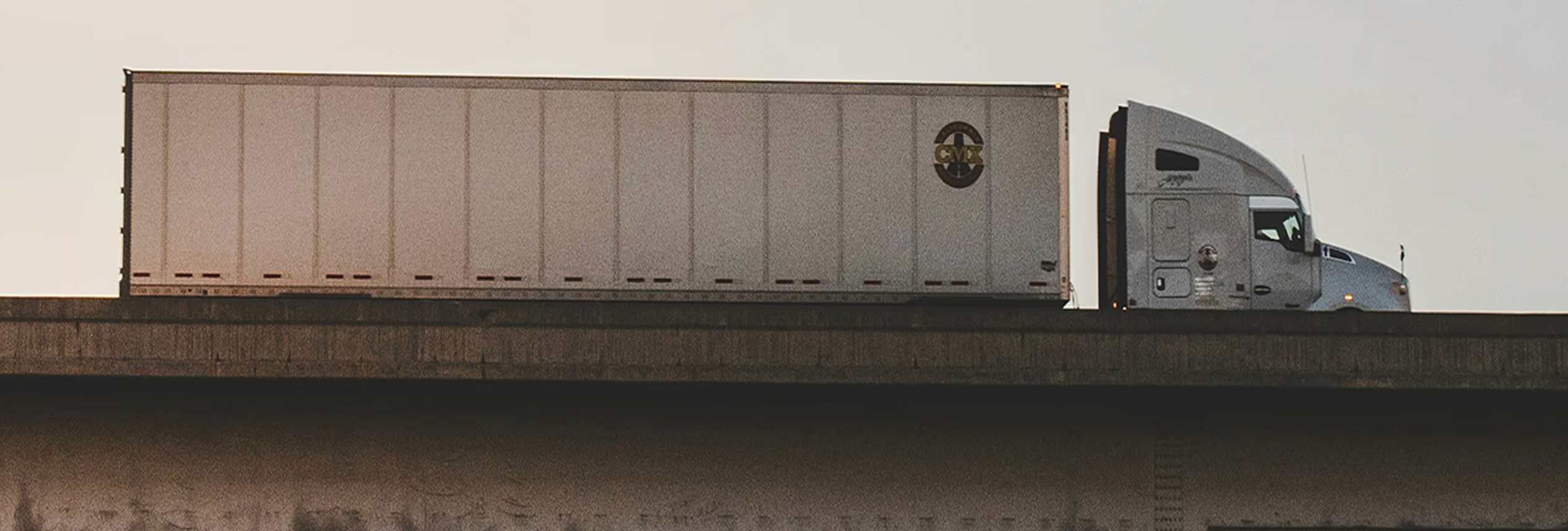
Locate and Track
Locate and track capabilities show the current or last reported position of fleet vehicles and preserve historical journey information. These functions commonly use GPS-enabled telematics devices to send location, direction, speed, ignition status, and movement data to a fleet management platform.
Real-time location helps dispatchers identify the nearest suitable vehicle, monitor route progress, estimate arrivals, and respond when a vehicle stops unexpectedly or leaves an approved area. Historical tracking allows teams to review completed journeys, stop duration, mileage, route selection, and time spent at customer locations.
Location accuracy depends on satellite visibility, device quality, installation, mobile coverage, transmission frequency, and surrounding buildings or terrain. A displayed point may represent the last received update rather than the vehicle’s exact current position. Fleet teams should therefore check timestamps and system status before acting on location data. Geofences can generate alerts when vehicles enter, leave, or remain within selected areas, supporting depot control and customer-service updates. Tracking records can also help verify route completion, but GPS presence alone does not prove that cargo was delivered or a service was completed. Electronic proof of delivery or another operational record is still required. Fleets should restrict access, establish appropriate retention periods, and explain authorised tracking practices to drivers. Used responsibly, locate-and-track technology improves visibility, planning, security, and performance analysis.
Common questions
Quick answers related to Locate and Track.
How does GPS fleet tracking determine vehicle location?
A vehicle device receives signals from positioning satellites and calculates its approximate location. It then transmits that information through a mobile or satellite network to the fleet platform, where authorised users can view current and historical movement data.
Why might a tracked vehicle’s location appear outdated?
The device may lose satellite visibility, mobile coverage, power, or network connectivity. Transmission settings or hardware faults can also delay updates. Users should check the timestamp and device status before assuming the displayed position reflects the vehicle’s current location.
What information can historical tracking provide?
Historical records may show routes, stops, arrival and departure times, mileage, speed, idling, geofence activity, and journey duration. Fleets can use this information to investigate exceptions, verify movements, improve planning, and analyse operational performance over time.
Does vehicle tracking provide proof that cargo was delivered?
No. Tracking may confirm that a vehicle reached a delivery location, but it does not establish that cargo was handed over successfully. Proof of delivery requires supporting evidence such as a signature, photograph, scan, timestamp, or completed delivery record.
How should fleets protect vehicle location data?
Access should be limited to authorised users and supported by secure accounts, appropriate retention periods, audit logs, and data-protection procedures. Fleets should define legitimate tracking purposes and communicate applicable monitoring policies clearly to drivers and other affected employees.